Maps
These maps have been sourced from the National Library of Scotland which can be found here: National Library of Scotland Maps. This is the list of maps used below (in order):
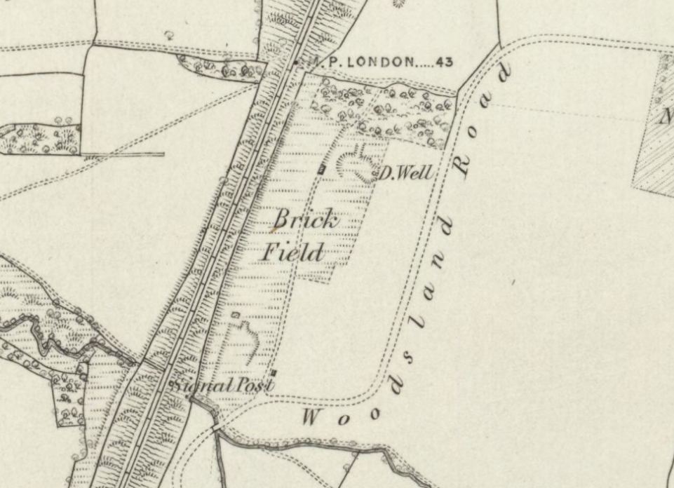
- Sussex Sheet XXXIX 1873-1874 published 1879
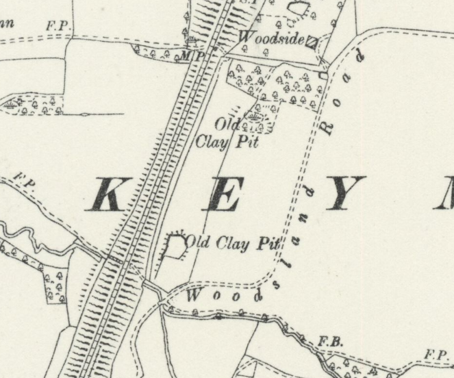
- Sussex XXXIX13 published 1897
- Sussex Sheet AAAIASW Published 1899
- sussex XXXIX13 published 1910
1879:
1897:

1899:
1910:
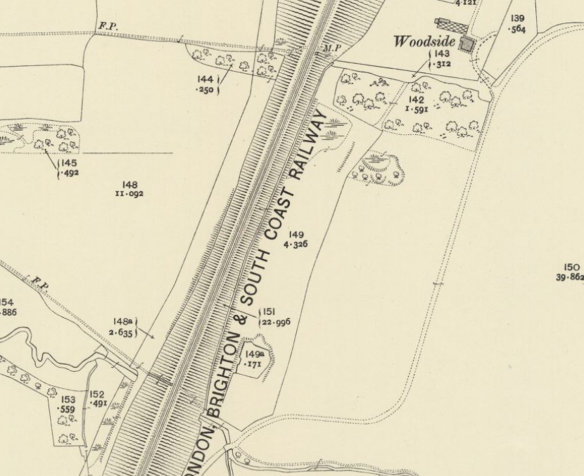
From these maps we can see that the body of water to the south has been around since at least 1879, that the land was a brick field and the water was an old clay pit.
If you would like to be involved, give us an email at claypitwood@proton.me We'd love to hear from local people about their connection with the woods or anyone who is passionate about the wildlife around them.
This webite is a work in progress, if you are interested in attending future events, please give us an email.